


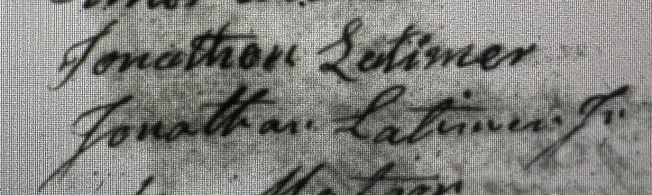
Three generations of Jonathan Latimers were early settlers of Simsbury, CT – Jonathan Latimer 1709 – 1788, Jonathan Latimer 1738 – 1826, and Jonathan Latimer, Jr. 1764 – 1852. Jonathan Latimer (1st) married Mary Hollister on 5 December 1734, in Wethersfield, CT. He moved his family of 5 from Wethersfield […]

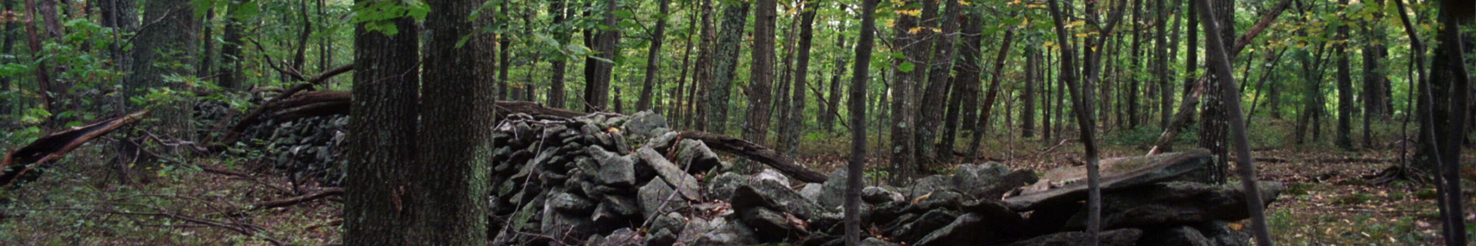
When walking on Westledge Trail in the McLean Game Refuge, one may have a sense of something different beyond its natural surroundings. It’s a beautiful, forested hike that extends from Westledge Road through the Refuge, along a brook, to Firetown Road in Simsbury. But beyond its natural beauty lie subtle […]

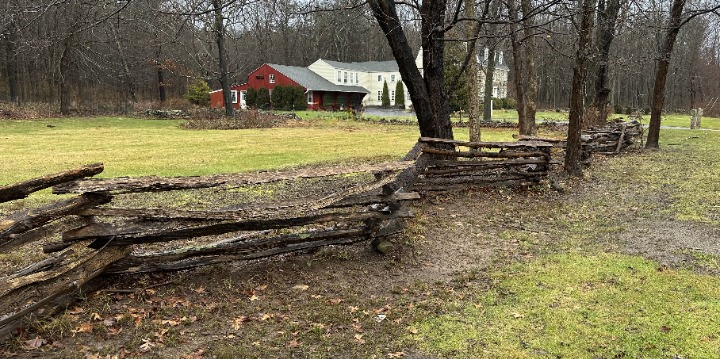
When early colonists first settled the West Simsbury hills of Simsbury, the area was virgin forest. They had an ample supply of wood to build their houses, mills and other outbuildings; keep fireplaces burning for cooking and heating ,and fabricate fences. In 1769 the Colony of Connecticut established laws regarding […]

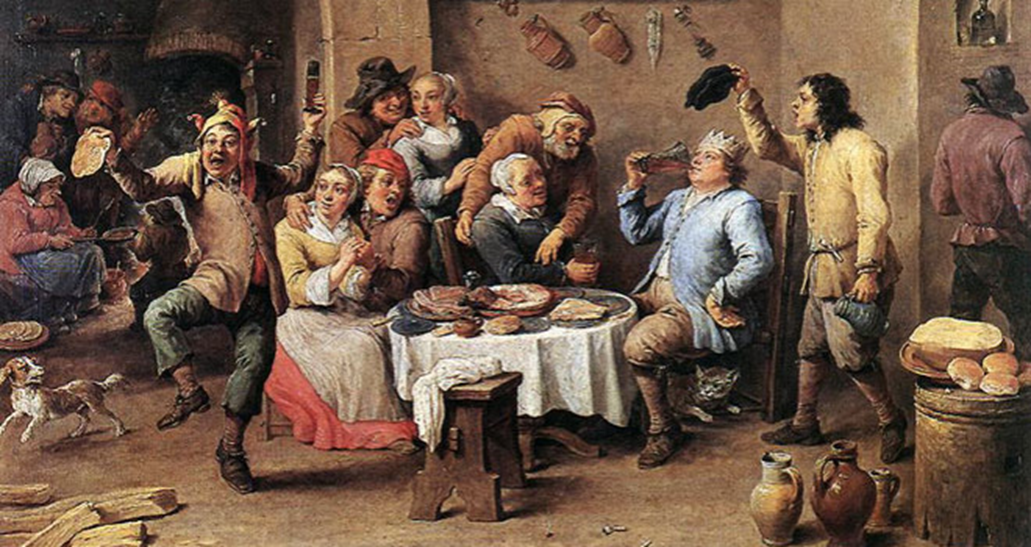
The 17th and 18th century colonial Puritans and Pilgrims of New England, such as those from Simsbury, CT, were very pious, so Christmas was just another day to devote to God. Their ministers rejected celebrating the holiday due to its pagan roots from the Roman winter festival of Saturnalia and […]

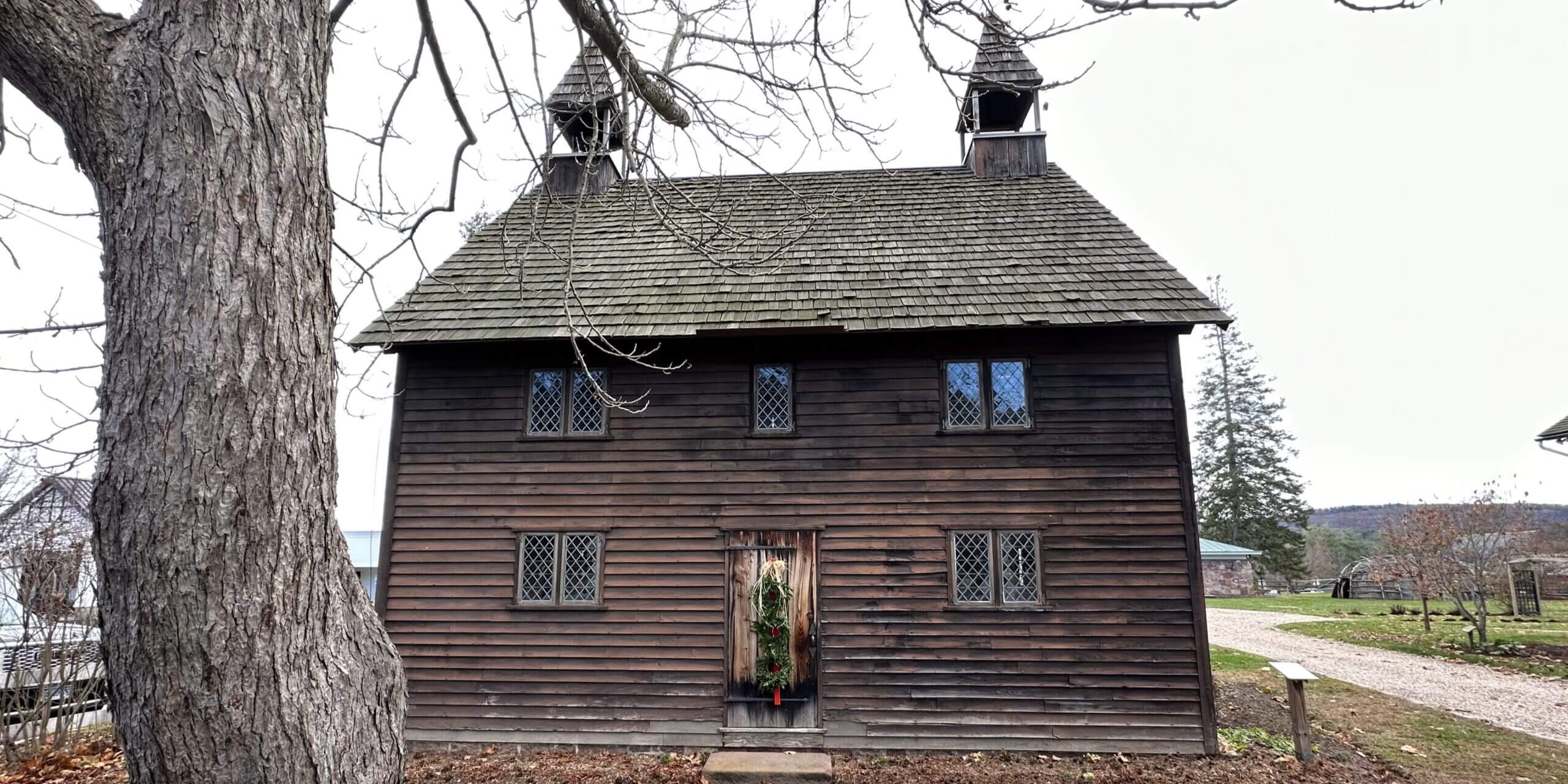
The first European settlers of Simsbury, CT (a.k.a. the Massaco settlement) in the late 1600s were pious Puritans and Pilgrims (Puritan Separatists). To these Christians, the Bible was foremost. Worship services were unadorned, having worship in a “meeting house” with plain architecture, simple furnishings, and no musical instruments. (The photo […]

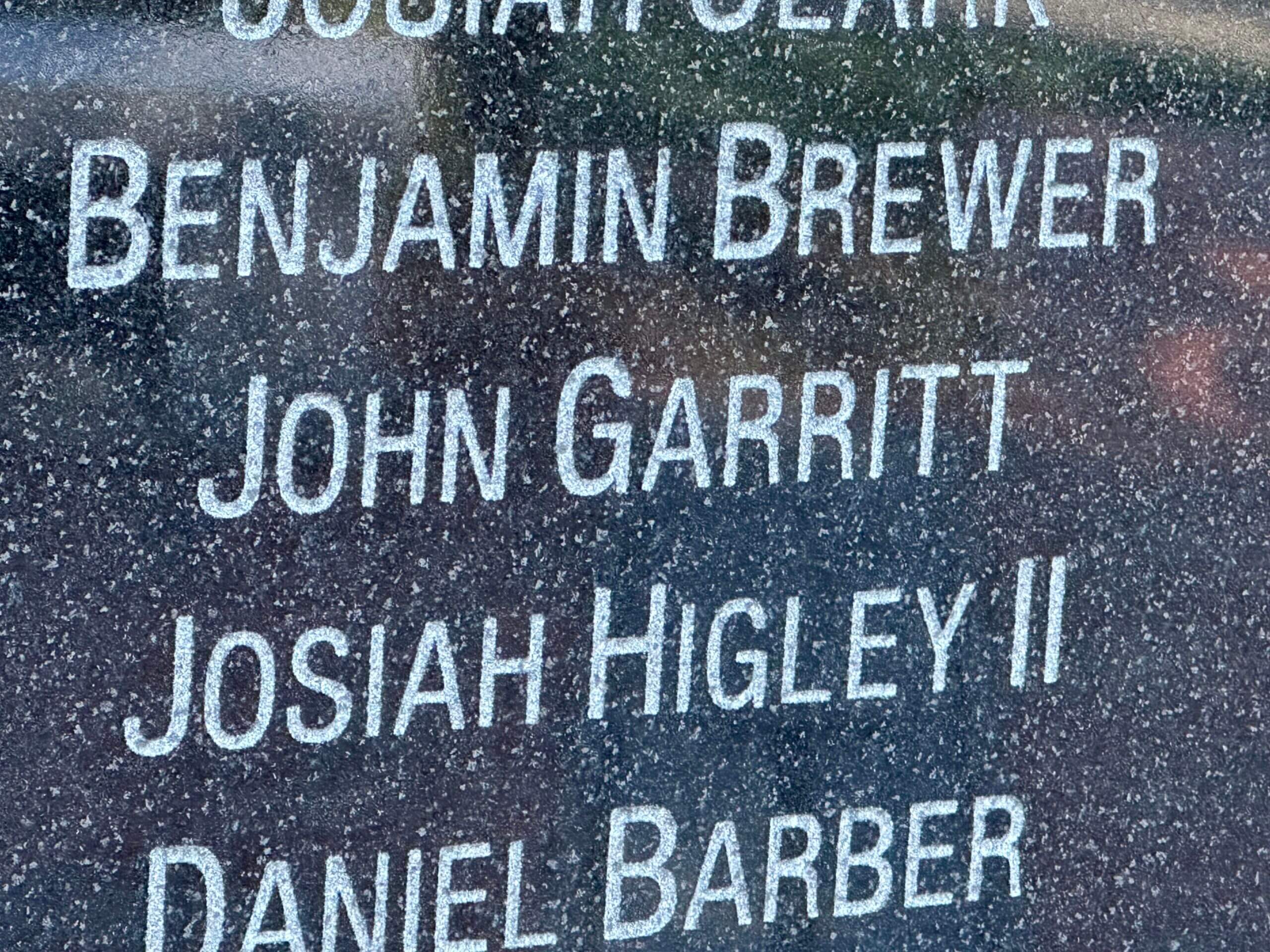
Simsbury residents – including West Simsbury farmers answered the call for revolution. Nearly 1,000 Simsbury residents, more than in any other war, served in the Revolution. Noah Phelps was the most noted hero, as it was his spying which led to the capture of Fort Ticonderoga by Ethan Allen and […]

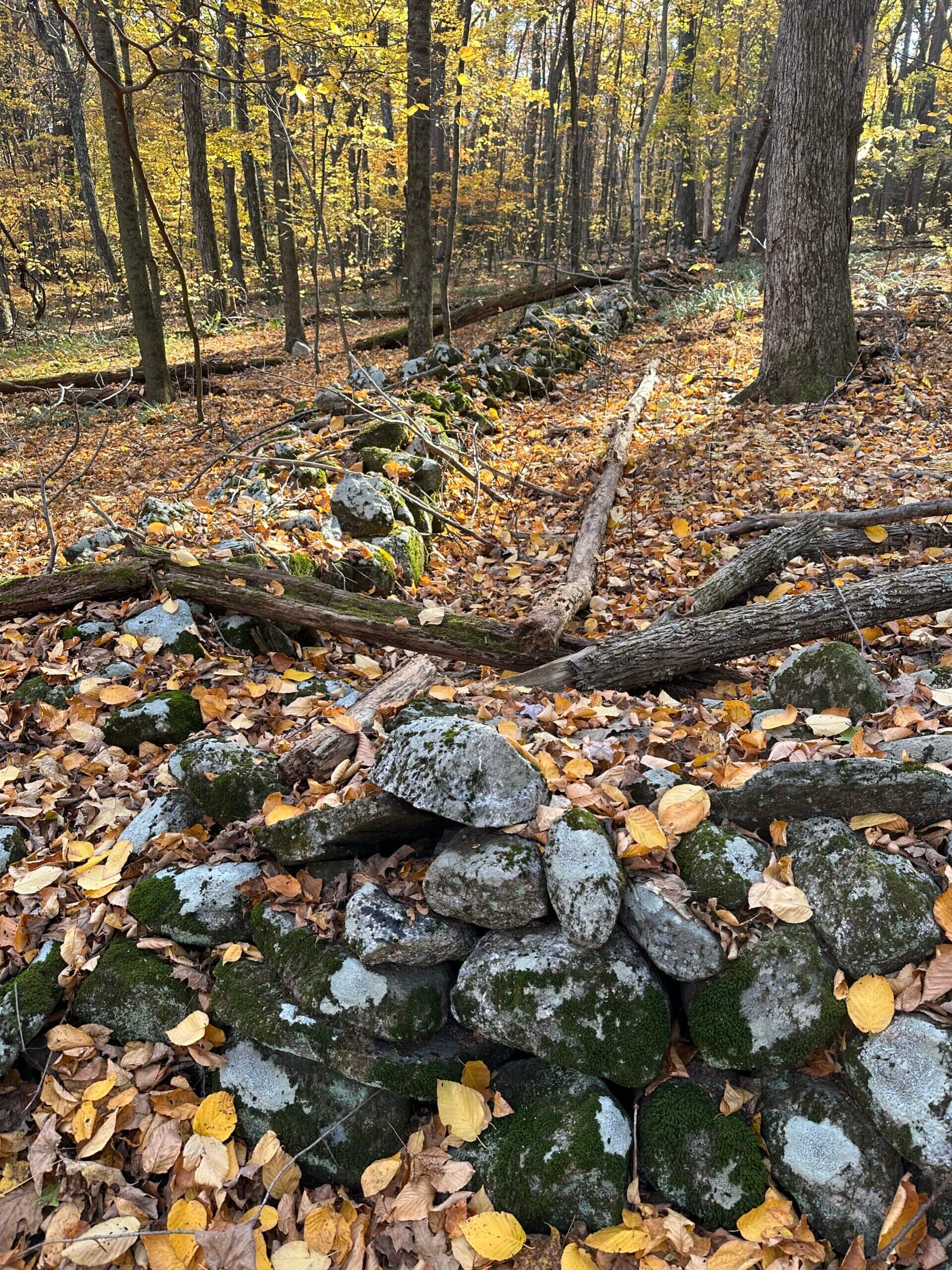
A hike along McLean Game Refuge’s Westledge Trail in Pilfershire Simsbury includes an uphill section that goes in an east-west direction. This dirt road was referred to as the “Garrett Stairs” and was renowned in the 17th and 18th century for the difficulty it posed for travel. This section of […]

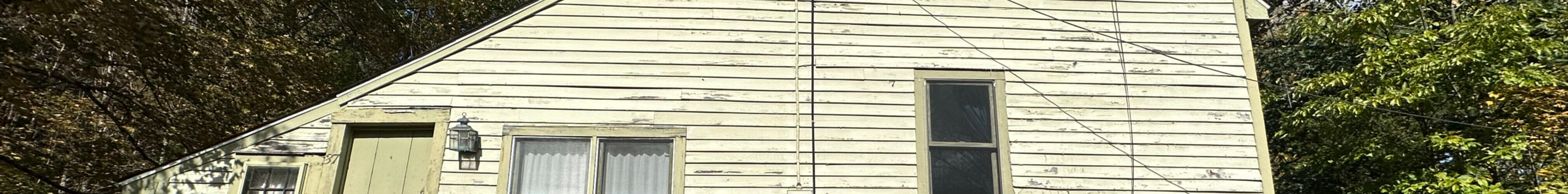
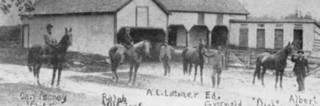
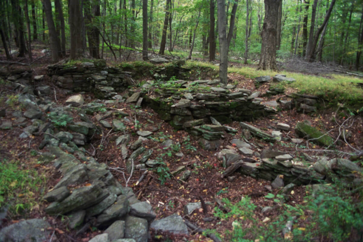
This is the currently published version 1.05 (2012) of my little paper about the homes and farms of Pilfershire, located in what is now the northwest corner of Simsbury Connecticut (apparently between 1806 and 1879 this land was part of North Canton). The text (and two old photgraphs) is based […]

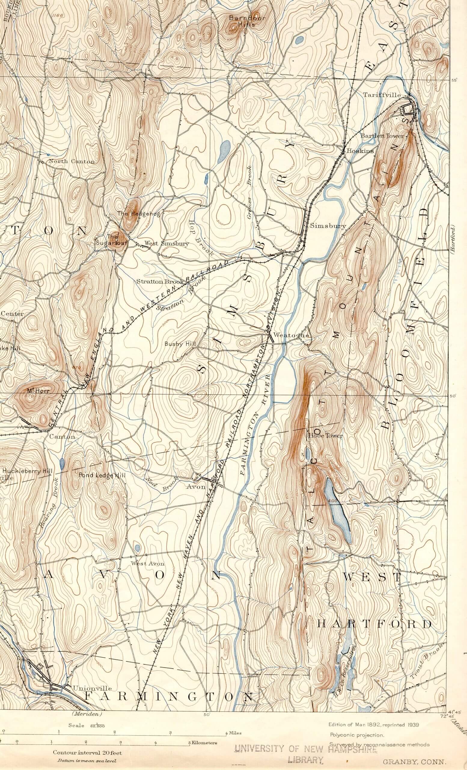
Prior to discovering this map, I didn’t know that topographic maps even existed, knowing that present day “geodetic” maps are generated from data collected by airplane (and now satellite). But clearly the vocabulary of the current day maps was present in these old maps, with contour lines for elevation levels […]

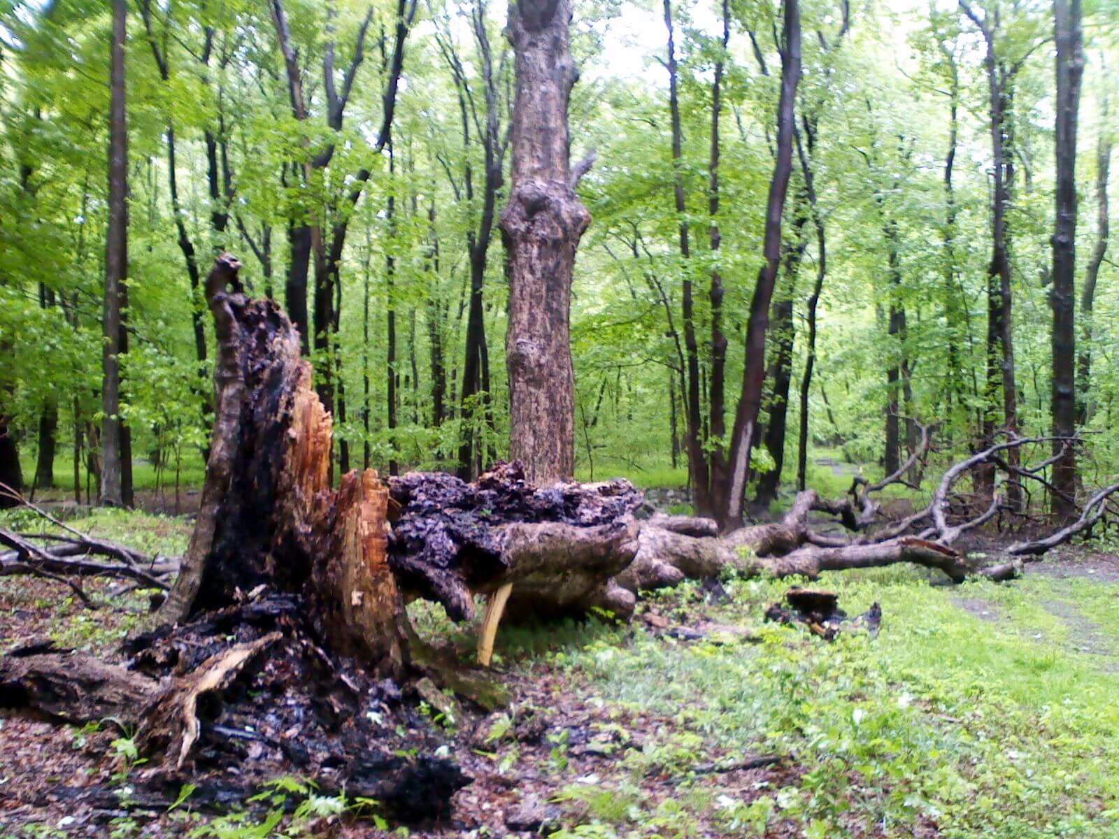
Matson House doorstep tree. Around 2015.