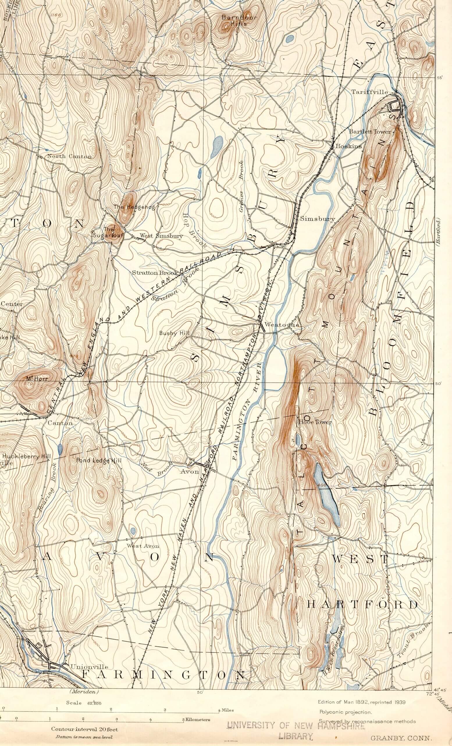
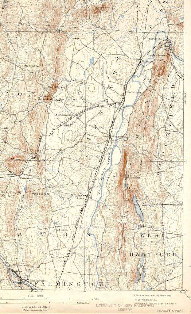
Prior to discovering this map, I didn’t know that topographic maps even existed, knowing that present day “geodetic” maps are generated from data collected by airplane (and now satellite). But clearly the vocabulary of the current day maps was present in these old maps, with contour lines for elevation levels and small black squares for buildings (along with a host of other invaluable data). This map shows clearly the state of the Pilfershire area in 1892.
Jeff Bush ……………………………………


